Drone
Services
Your eye from the sky.
Getting aerial images and videos got easier and quicker, just a click away. We are serving Aiken and surrounding counties.
Getting aerial images and videos got easier and quicker, just a click away. We are serving Aiken and surrounding counties.
WHAT CAN WE OFFER?
AERIAL PHOTOGRAPHY
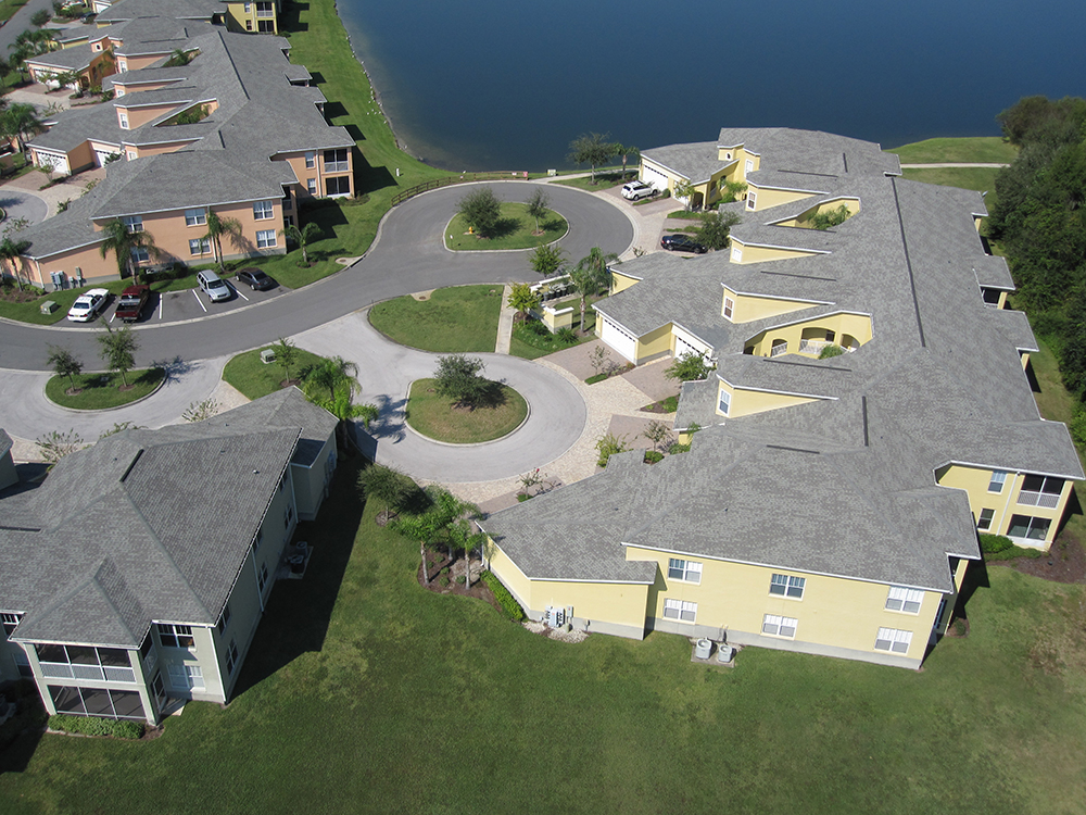
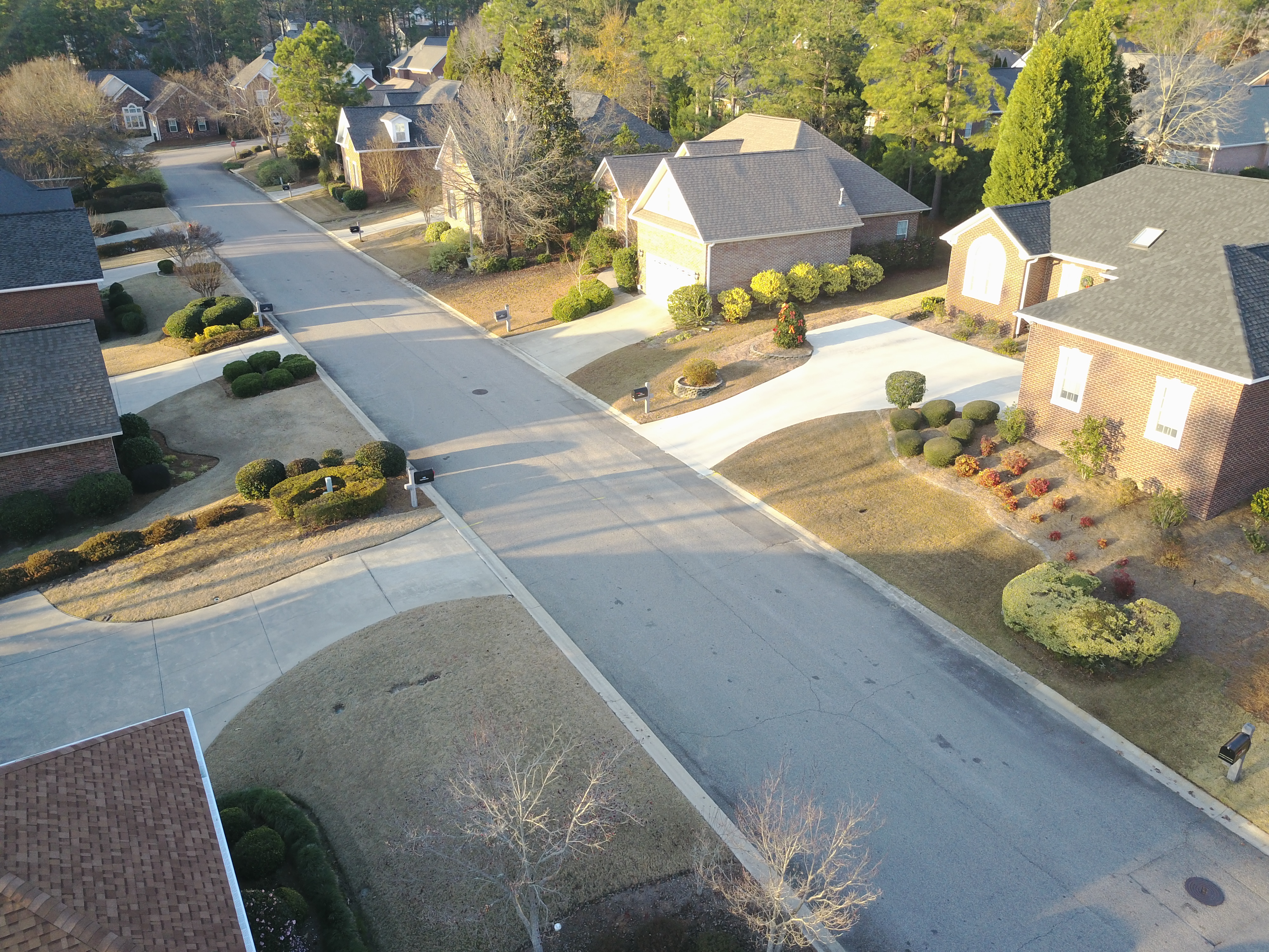
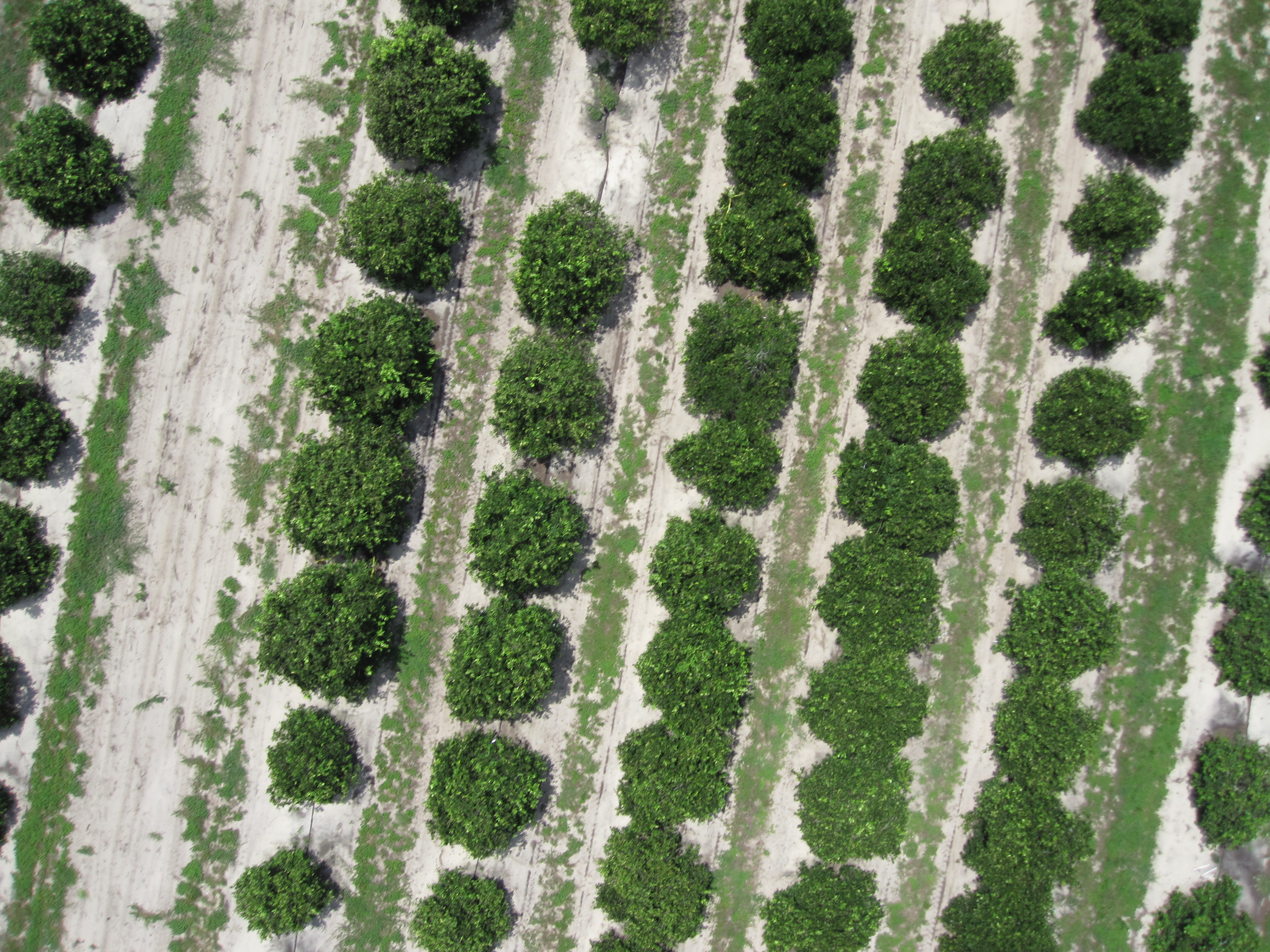
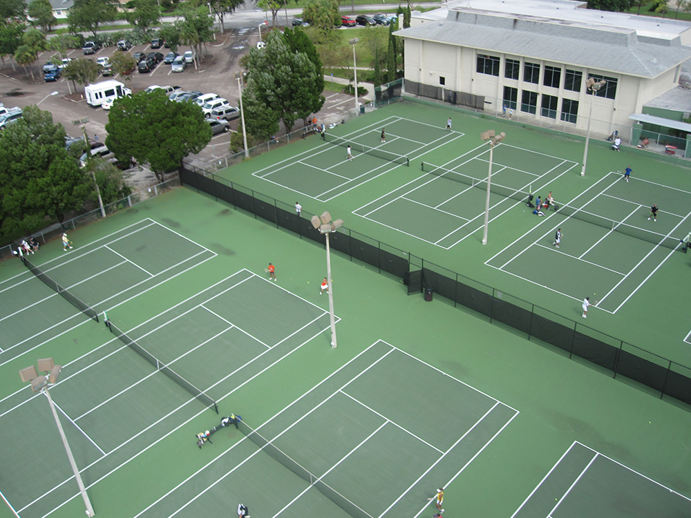
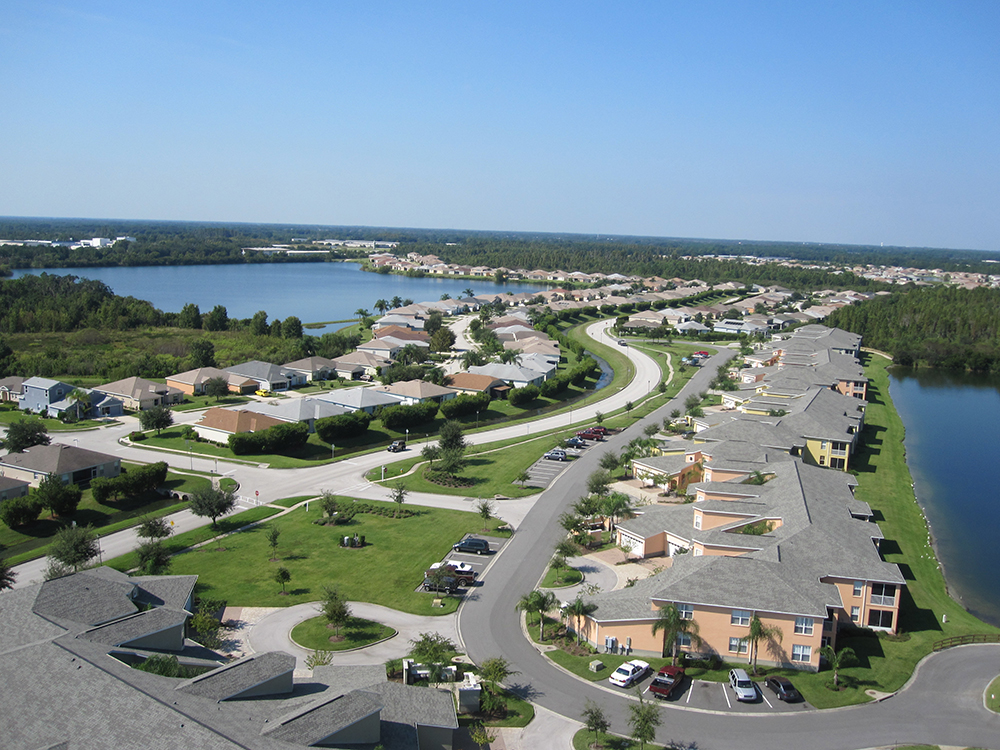
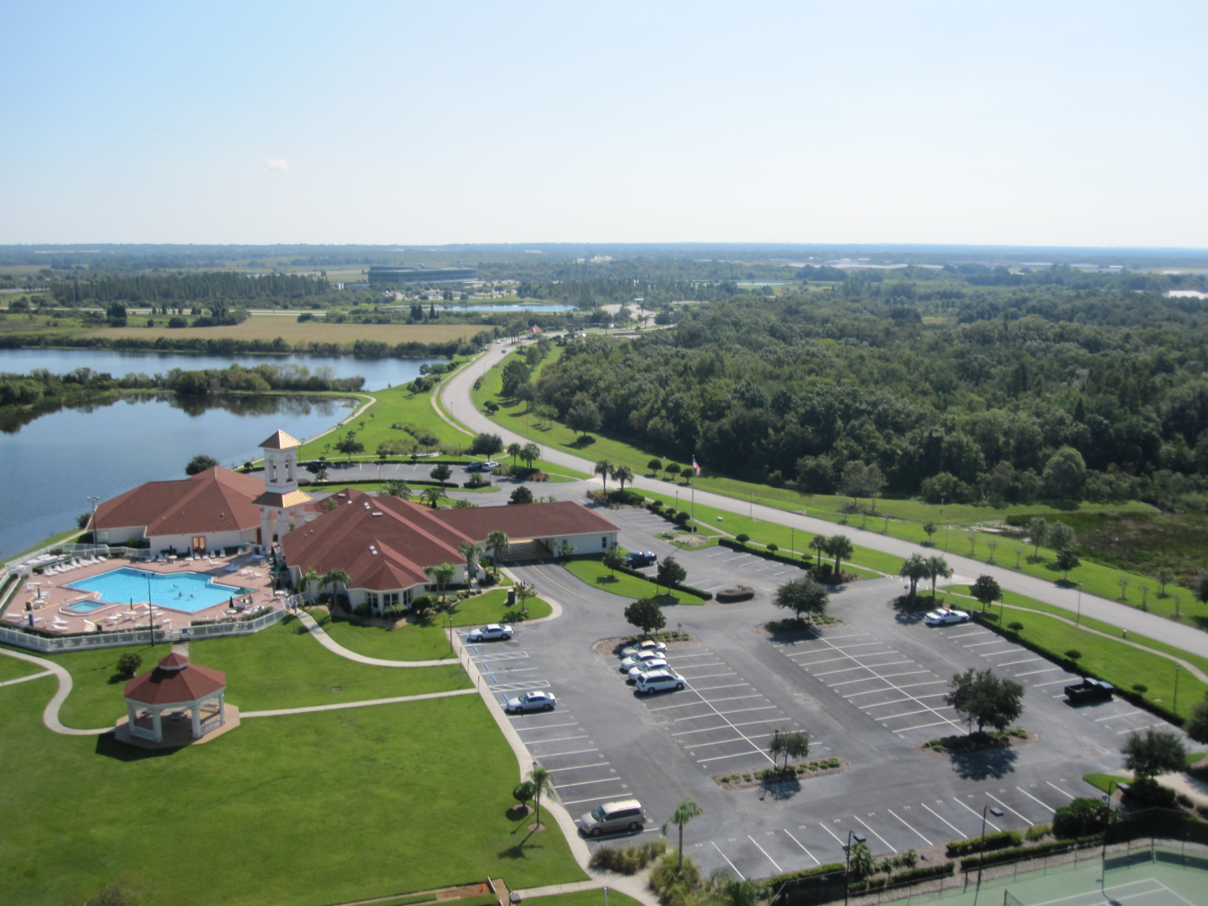
Drones will take professional aerial photos for real estate marketing or for any business marketing. Aerial photographs can also be taken from any disaster area, any military and surveying purposes.
VIDEOGRAPHY
Videos are more appealing to any real estate marketing. Nothing can beat the real time images seen from above.
CONSULTANCY
Consult to a world renowned FAA licensed pilot about drones especially for agriculture use and licensing.
MAPPING AND SURVEYING
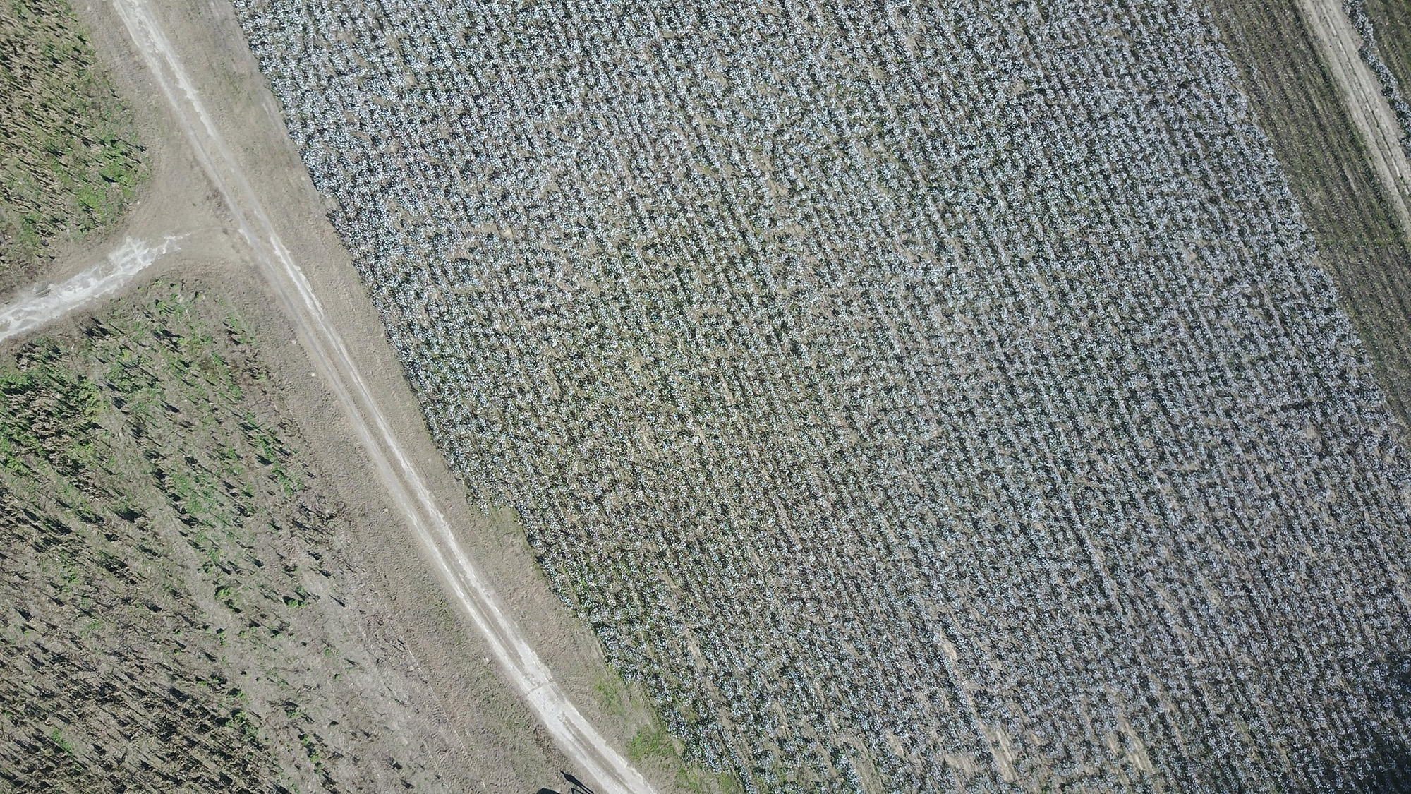
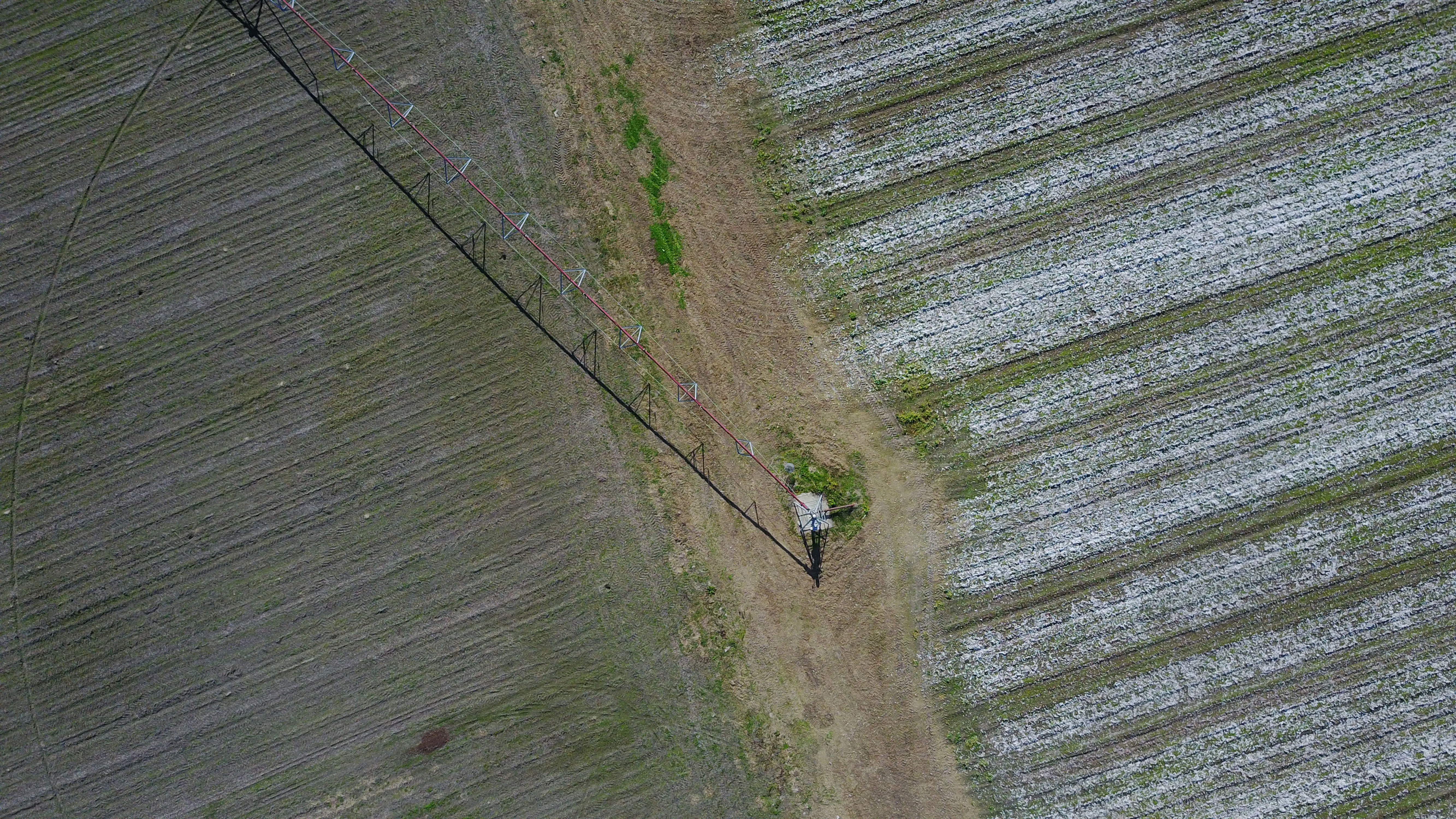
Mapping now can be less tedious since the existence of drone. Mapping and surveying for real estate, any industries and agriculture can benefit tremendously using drones.
LATEST WORKS
EXPERIENCED WORLD RENOWNED UNMANNED AERIAL VEHICLE CONSULTANT AT YOUR SERVICE
THE PROCESS
CONTACT US
Tell us where you would like aerial imagery. We will assess the place first using Google maps.
WE DO THE FLYING
We will take the images using our drones on the set time and date. Pilots are FAA licensed and certified to fly.
GET YOUR IMAGES/ VIDEOS EASILY
View the images easily online upon completion.
Generating New Ideas. Solving Big Problems
Let’s Start Something new.
Say Hello!
Fill up the form below and we will response as soon as we can. This service depends on availability of our pilot. Send me any questions on pricing and available time. Thank you for your interest.
[happyforms id=”1499″ /]

